| Projects / Conservation Actions |
|
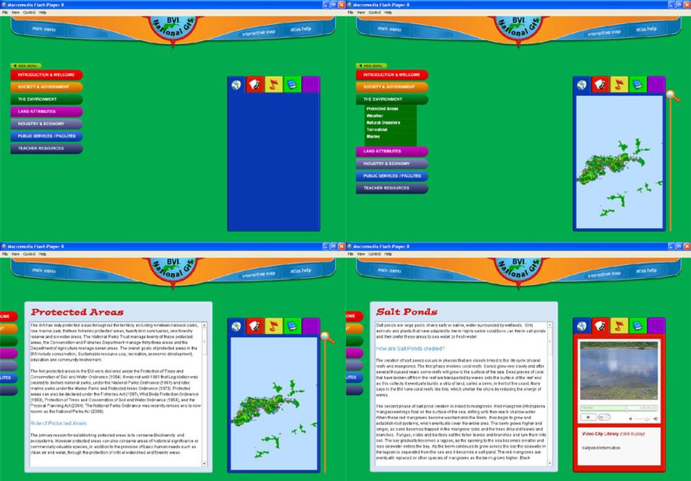
The Overseas Territories Environment Programme (OTEP) grants have supported a number of conservation and education projects in BVI. The BVI Environmental CD Atlas and Teaching Resource is one of these. An informational CD Atlas has been created by the National Geographical Information Systems Technical Steering Committee as a resource for schools and the general public to provide a comprehensive understanding of the environments of the BVI. This is important as the majority of the population resides on Tortola, with schools of varying sizes on three of the sister islands: Virgin Gorda, Anegada and Jost Van Dyke. School visits to the sister islands are not included within the curriculum, so many students never visit the other islands in the BVI and as a result have limited knowledge of the BVI's natural environment. This dynamic web based CD allows students to explore the real world distribution of the environments of the BVI. Development of the Atlas is complete, and it is hoped to make it widely available shortly. |
|
Screens from the BVI Interactive Environmental Atlas (Projects / Conservation Actions, 13 of 21 - Slide ref. 548) |
UK OVERSEAS TERRITORIES CONSERVATION FORUM
Virtual Tours: British Virgin Islands